
Sat., Aug. 19
Semi-clean, early. Choppy by early afternoon.
Good Morning. This is Bates with your Ocean Surf Shop surf report and forecast for Saturday, Aug. 19 at 8:30 a.m.
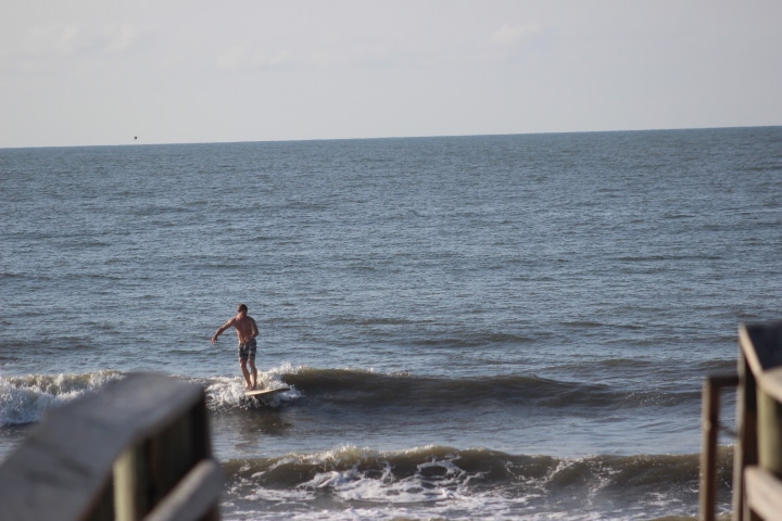
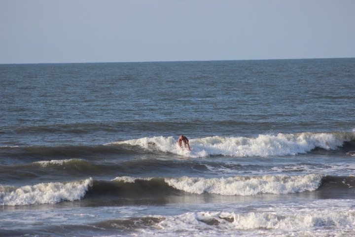
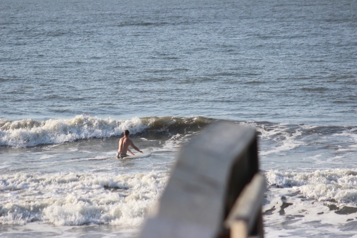
Waves at The Washout are knee to thigh high with a rare waist high set in weak south-westerly wind swell.
Winds are west/south-west at 10 knots, and surf is semi-clean.
Look for wind to go south at 15 knots late in the day. Surf will be choppy this afternoon, and could pick up in southerly wind swell as the tide comes in late.
Low tide will be at 12:15 p.m. The next high tide will be at 6:44 p.m.
Edisto Buoy is reading 3.6 ft. at 5 seconds in short period south/south-west wind swell.
We’ll see a cold front move near the coast over the weekend and dissipate, which should produce weak, choppy south-westerly wind swell in the waist high range today. Wind-swell fades out some on Sunday. We have a tropical system – 92L- moving into our swell window during the early part of next week. The system it is predicted to move to our south and should push up some swell Wednesday of next week.
Your NOAA Marine Weather Forecast for our marine area calls for: “A weak cold front will linger inland over the SE this weekend. Broad low pressure is expected to move nearby from the western Atlantic on Monday. High pressure will return Tuesday and Wednesday.
It is 82* with sunny skies this morning. Expect partly cloudy skies today and a high of 91* with a 40% chance of rain. There is a heat advisory in effect.
Water temperature is 86*.
Sunset is at 8 p.m. and sunrise will be at 6:45 a.m.
Thanks for checking in with Ocean Surf Shop.
We’ll see a cold front move near the coast over the weekend and dissipate, which should produce weak, choppy south-westerly wind swell in the waist high range today. Wind-swell fades out some on Sunday. We have a tropical system – 92L- moving into our swell window during the early part of next week. The system it is predicted to move to our south and should push up some swell Wednesday of next week.







Good Morning. This is Bates with your Ocean Surf Shop surf report and forecast for Saturday, Aug. 19 at 8:30 a.m.
Waves at The Washout are knee to thigh high with a rare waist high set in weak south-westerly wind swell.
Winds are west/south-west at 10 knots, and surf is semi-clean.
Look for wind to go south at 15 knots late in the day. Surf will be choppy this afternoon, and could pick up in southerly wind swell as the tide comes in late.
Low tide will be at 12:15 p.m. The next high tide will be at 6:44 p.m.
Edisto Buoy is reading 3.6 ft. at 5 seconds in short period south/south-west wind swell.
We’ll see a cold front move near the coast over the weekend and dissipate, which should produce weak, choppy south-westerly wind swell in the waist high range today. Wind-swell fades out some on Sunday. We have a tropical system – 92L- moving into our swell window during the early part of next week. The system it is predicted to move to our south and should push up some swell Wednesday of next week.
Your NOAA Marine Weather Forecast for our marine area calls for: “A weak cold front will linger inland over the SE this weekend. Broad low pressure is expected to move nearby from the western Atlantic on Monday. High pressure will return Tuesday and Wednesday.
It is 82* with sunny skies this morning. Expect partly cloudy skies today and a high of 91* with a 40% chance of rain. There is a heat advisory in effect.
Water temperature is 86*.
Sunset is at 8 p.m. and sunrise will be at 6:45 a.m.
Thanks for checking in with Ocean Surf Shop.